Vitruvian Young Man
Posted: November 19, 2026 Filed under: Child Centered Activities, Chronicles of a First Time Parent, What is an Art Farm Leave a comment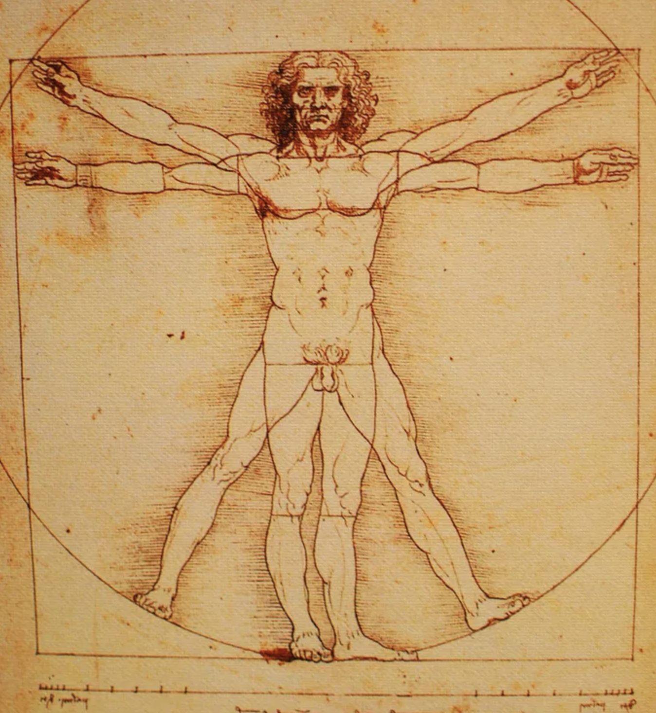
In 1490, the polymath artist Leonardo da Vinci used pen and ink to draw what is ranked among the all-time iconic images: a naked man in two overlapped standing positions, inscribed within a circle and a square. This combination of artistic vision with scientific inquiry is considered an archetypal representation of the High Renaissance. The drawing is so valuable and delicate that it is rarely displayed in public.
Scholars point out how the composition depicts phases of movement, combining a single human figure with both earthly and divine dimensions. The drawn man is a solution to a puzzle posed some 1,500 years earlier by Vitruvius, a Roman architect and engineer active during the first century BCE. Vitruvius had sought to inscribe the human body within both a circle and a square. Renaissance scholars came to regard the circle as representing the spiritual realm, and the square symbolizing the physical and material realm; man as the microcosm of creation.
In 2026, the young man whom we homeschool is learning this ancient idea in his science class, taught by the Mother Tree. She is teaching him to understand place not merely as Cartesian coordinates nor as “fee simple absolute” ownership but through the whole human person. She had him select a site and then measure its boundaries – not using a tape measure but his own bodily dimensions.
He chose the side yard of our old farm and explained his decision:
I’m choosing this site because it’s extremely accessible, it’s more than enough space, and it has decent slope, and plant coverage including grass, knotweed, thorn bushes, tall grass/brush, burdock, etc.
It has a latitude of 43.62500 North, and a longitude of 70.27412 West. I found the center point by dividing the length and width by two (so half of 22 ft is 11 ft so I went 11 ft from the east side, and half of 50 is 25, so I went 25 ft in from the south side). This site is 47ft above sea level.
My natural walking pace is 2 ft per step, my outstretched hand is 7 in, and my outstretched arms are 5 ft 8 in.
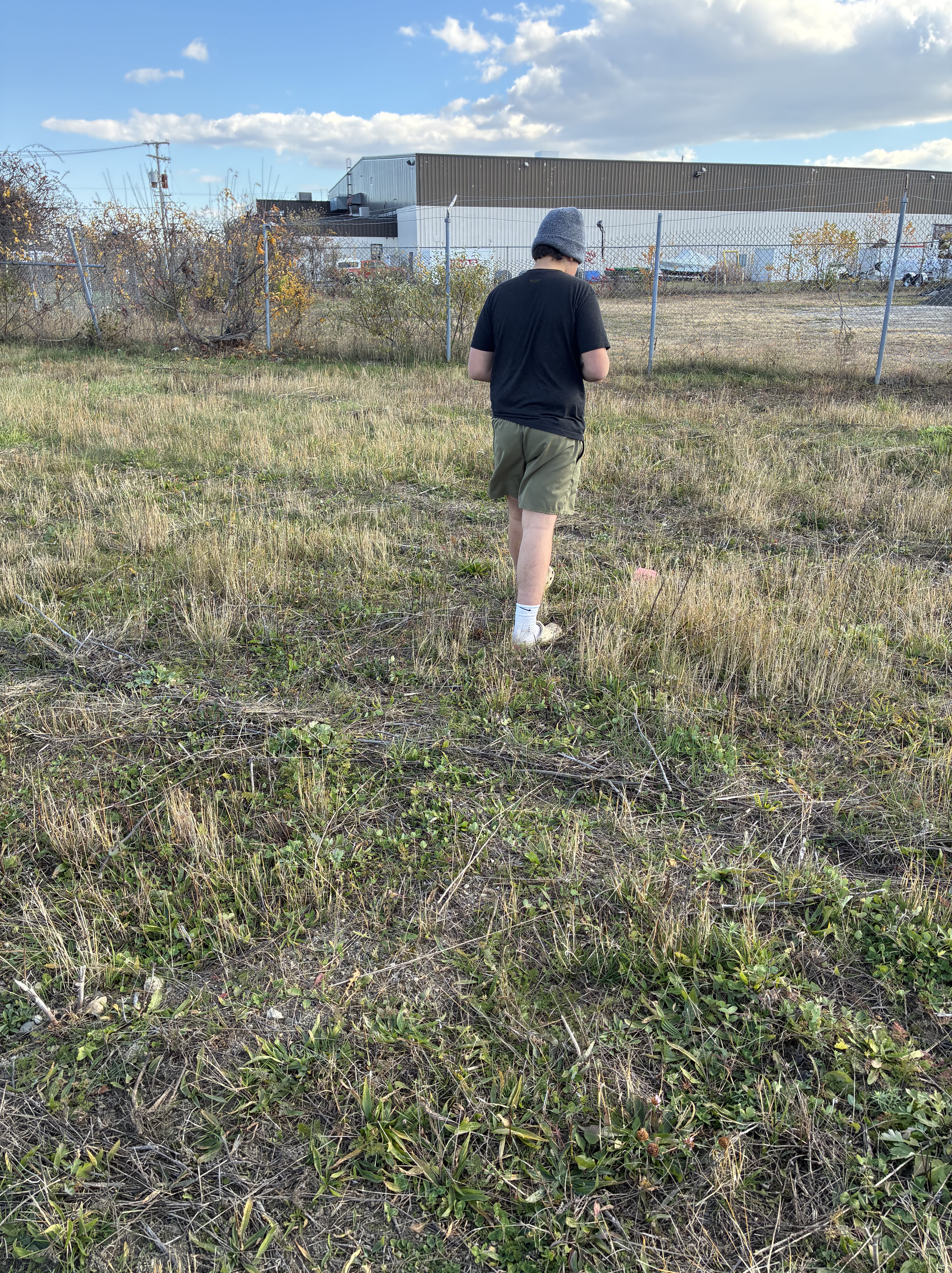
He chose a section of land 50 feet by 22 feet, equivalent to 25 steps by 11 steps; our young man himself became the instrument of measurement. His world was no longer an abstraction to be observed from a distance; it was something he physically encountered, traversed, and understood through his body.
This is ancient wisdom.
The Vitruvian Man depicts fivefold man existing between sixfold Heaven and fourfold Earth. In contemporary times this esoterica is known as Sacred Geometry, but to the Renaissance humanist, the relationship between mathematics, proportion, music, architecture, nature, and the human body was not an obscure esoteric curiosity. It was part of a much older intellectual tradition.
Leonardo illustrated a treatise on Divine Proportion, explored the golden ratio Phi, studied the five Platonic solids, and was familiar with the Pythagorean Musica Universalis, the harmony of the cosmos. He understood the proportions governing the human body might also illuminate the proportions of the natural and built worlds.
On the drawing itself, Leonardo wrote, in his backward script, this passage:
“Vitruvius, the architect, says in his architectural work that the measurements of man are in nature distributed in this manner, that is 4 fingers make a palm, 4 palms make a foot, 6 palms make a cubit, 4 cubits make a man, 4 cubits make a footstep, 24 palms make a man and these measures are in his buildings. If you open your legs enough that your head is lowered by 1/14 of your height and raise your arms enough that your extended fingers touch the line of the top of your head, let you know that the center of the ends of the open limbs will be the navel, and the space between the legs will be an equilateral triangle.”
My son’s height is 5’8” which matches his arm span, precisely as Vitruvius predicted. And so our young man awakens to his place in the world and the cosmos.
The Mother Tree encouraged him to study a second site, not located on our property. For a Zoomer who would much rather remain comfortably ensconced in his gaming corner, that was a formidable challenge. After much thought and gnashing of teeth, he finally articulated his reluctance: “Dad, Site #1 fulfills all of the requirements. Why do twice as much work?” I encouraged him to put his argument into words, to advocate for himself, and send the Mother Tree an email.
Something interesting happened. His strong feelings were tempered as he translated them into words:
“Hello, I wanted to clarify if I am doing one, or two sites. Originally, we talked about doing just one site and focusing on it. I’m ok to do two, I just want to understand.”
The Mother Tree replied:
“Yes! do more than one site! It’s gonna teach you more as you explore the differences.”
And so there would be a second site.
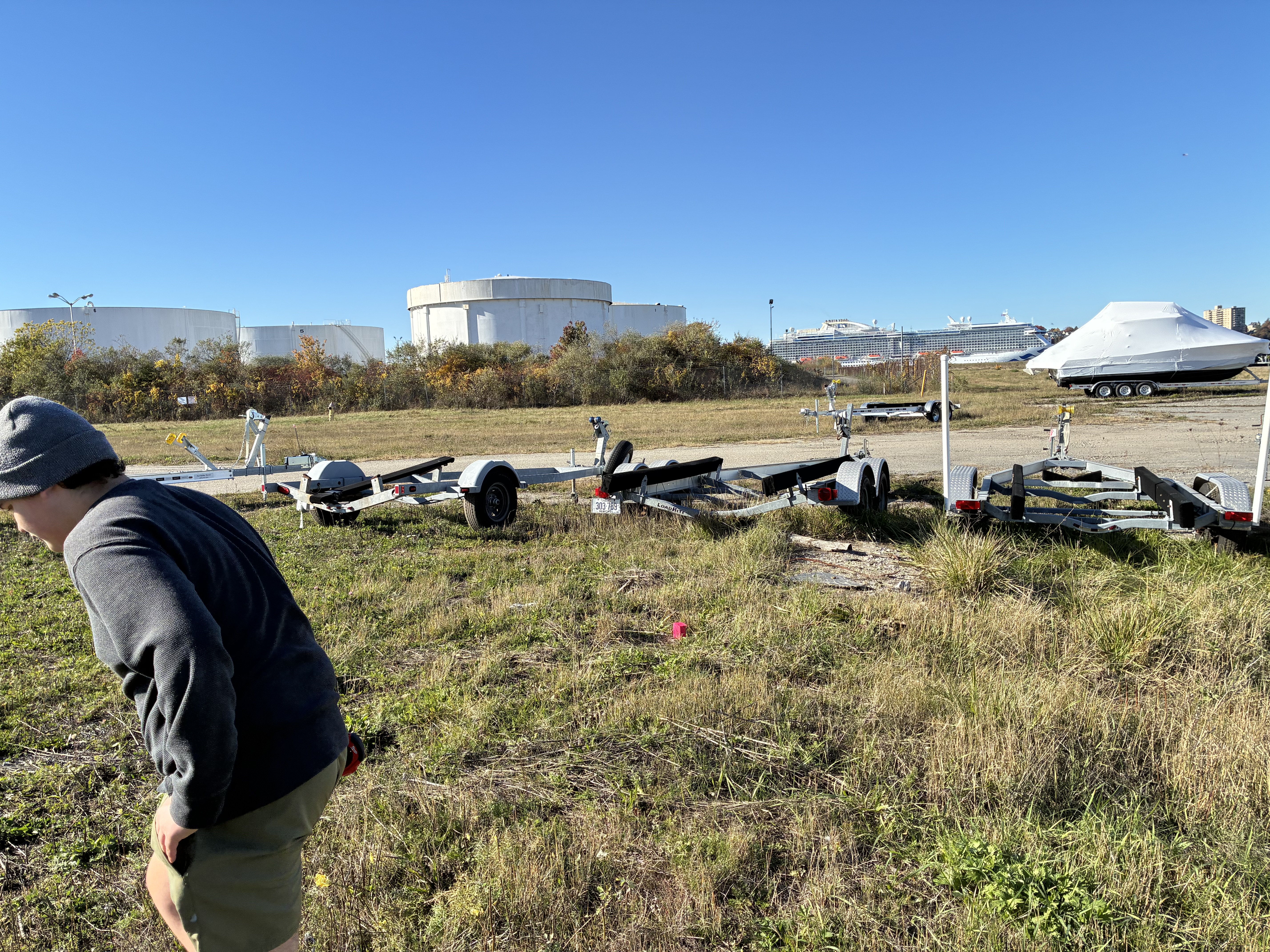
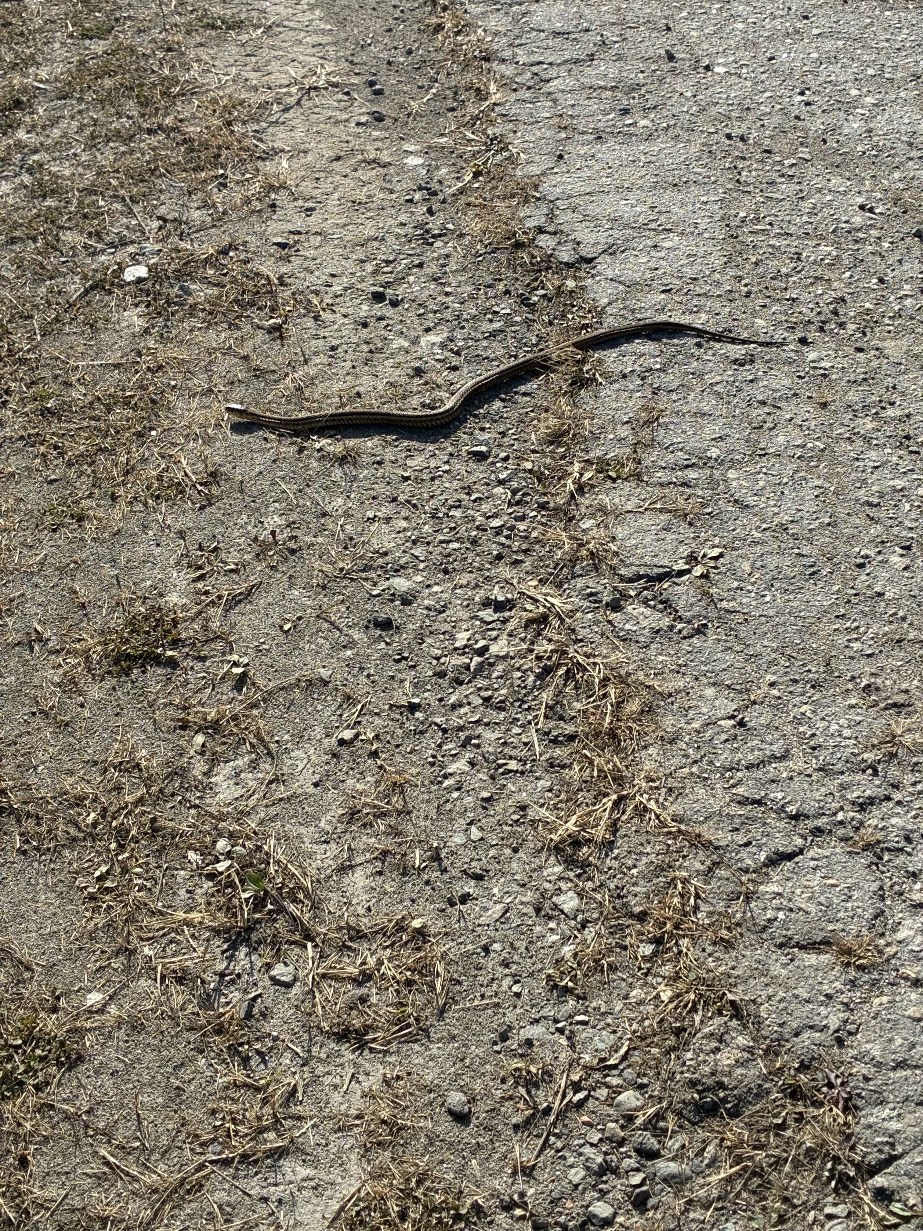
It was an industrial yard where boats are stored. Not knowing the property owner, nor able to locate them, we could not ask permission. But the property is not locked and many people pass through the yard. In a somewhat guerrilla fashion, we marked the site and conducted his survey when no one was around.
His description revealed that he was beginning to see land as a collection of relationships and characteristics rather than simply an empty space.
“This site is in an industrial yard about 3.4 miles from our house. The site has thick grass, and brush/bushes along the fence line. I chose this spot because it is an open space with slope, and has multiple different types of land such as gravel roads, grass, old parking lots, and old concrete slabs. Another reason I chose this site is because there is a small historical museum right next to it which will make it very easy to get information on the site, in addition to doing digital research.”
He recorded its latitude as 43°39’05” North and longitude of 70°14’08” West. Its elevation is 20 feet above sea level.
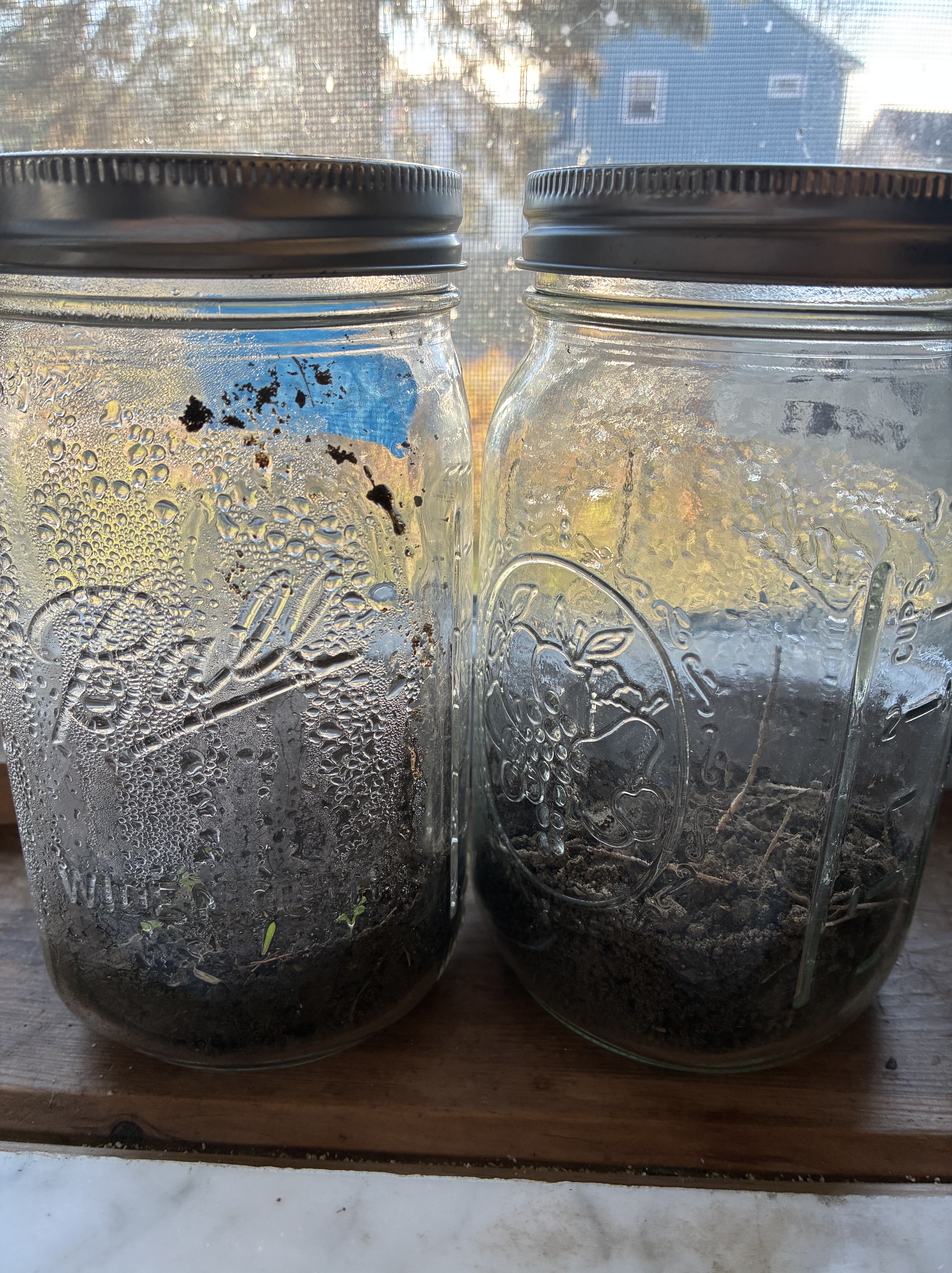
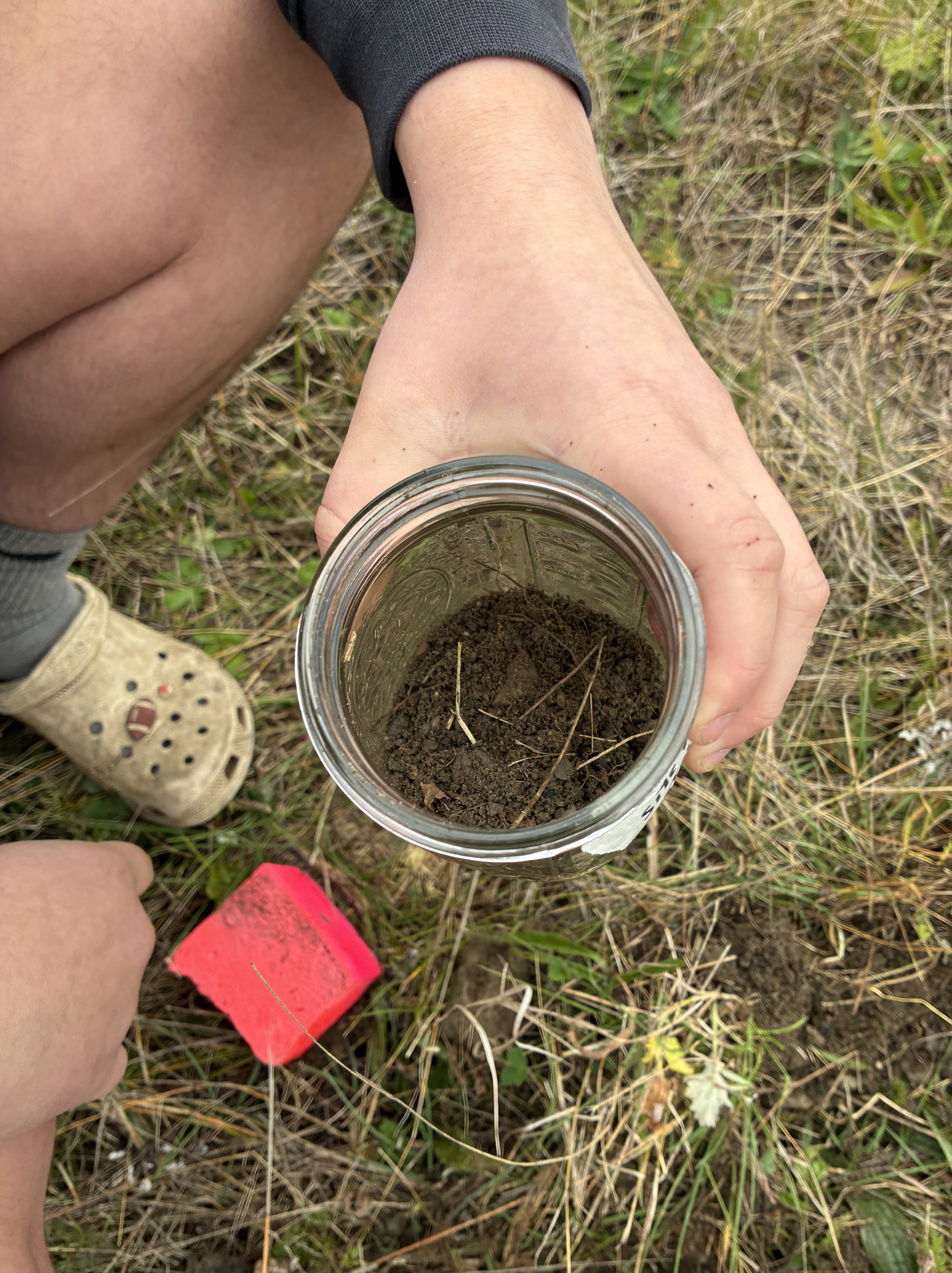
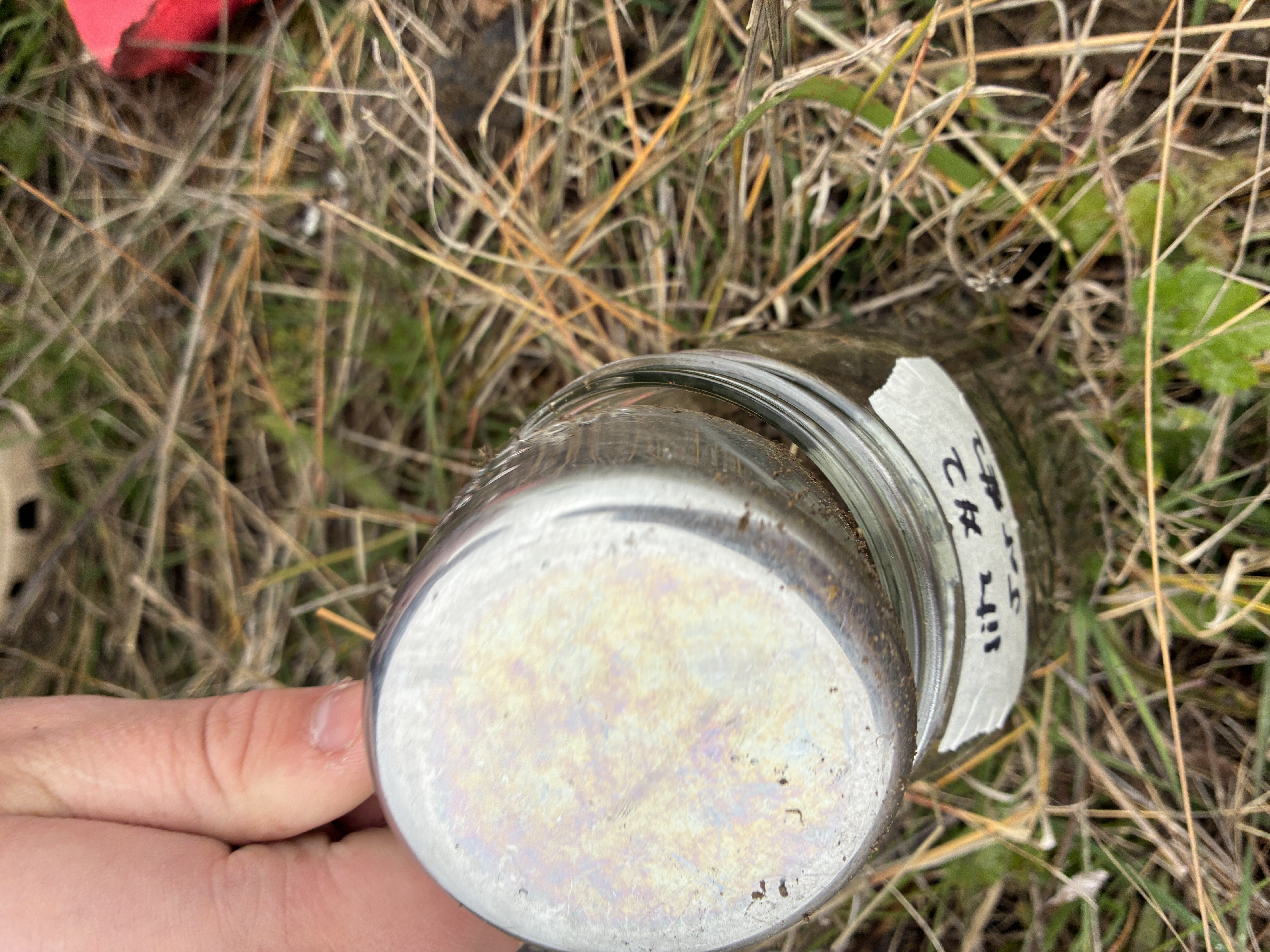
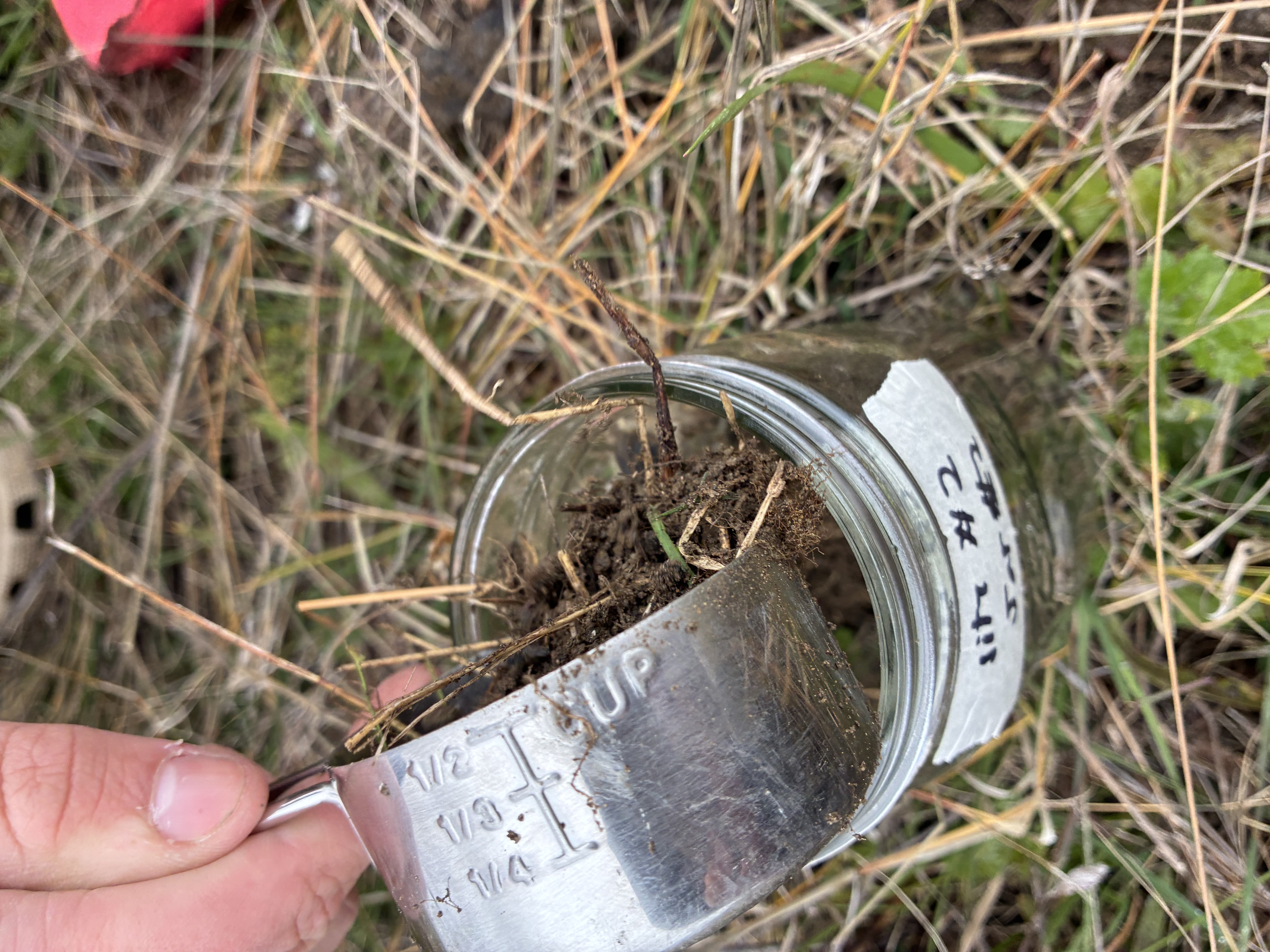
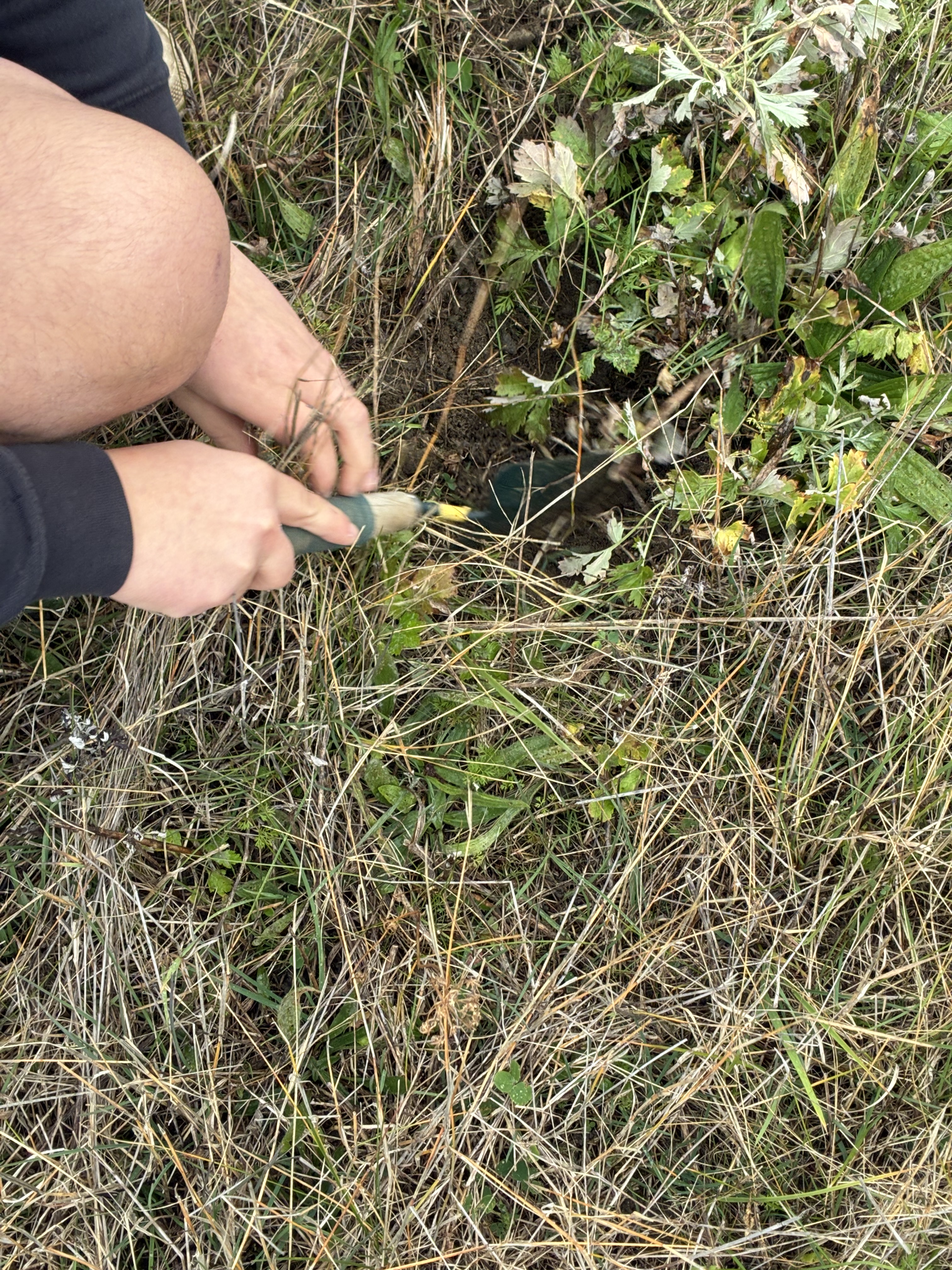
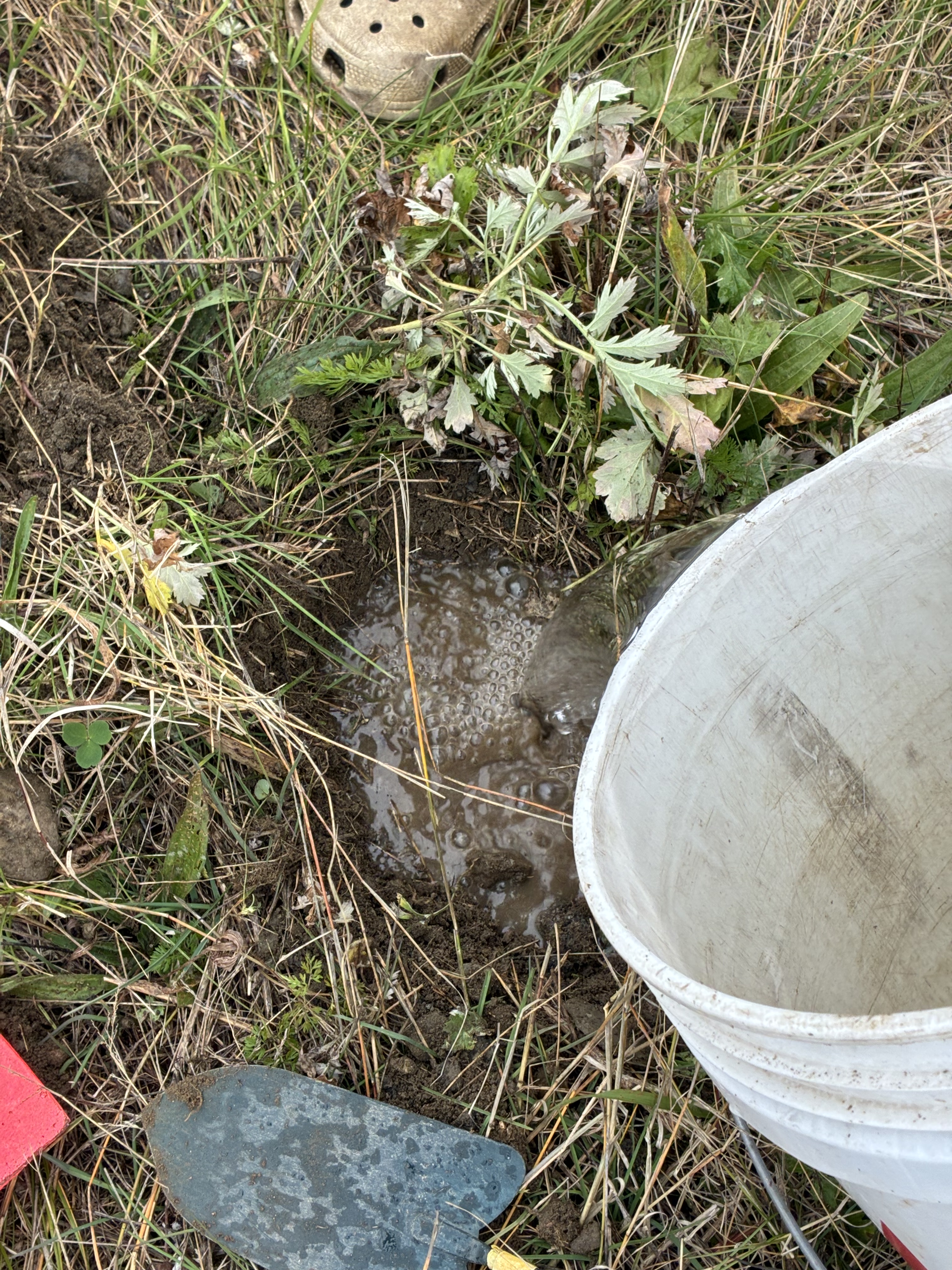
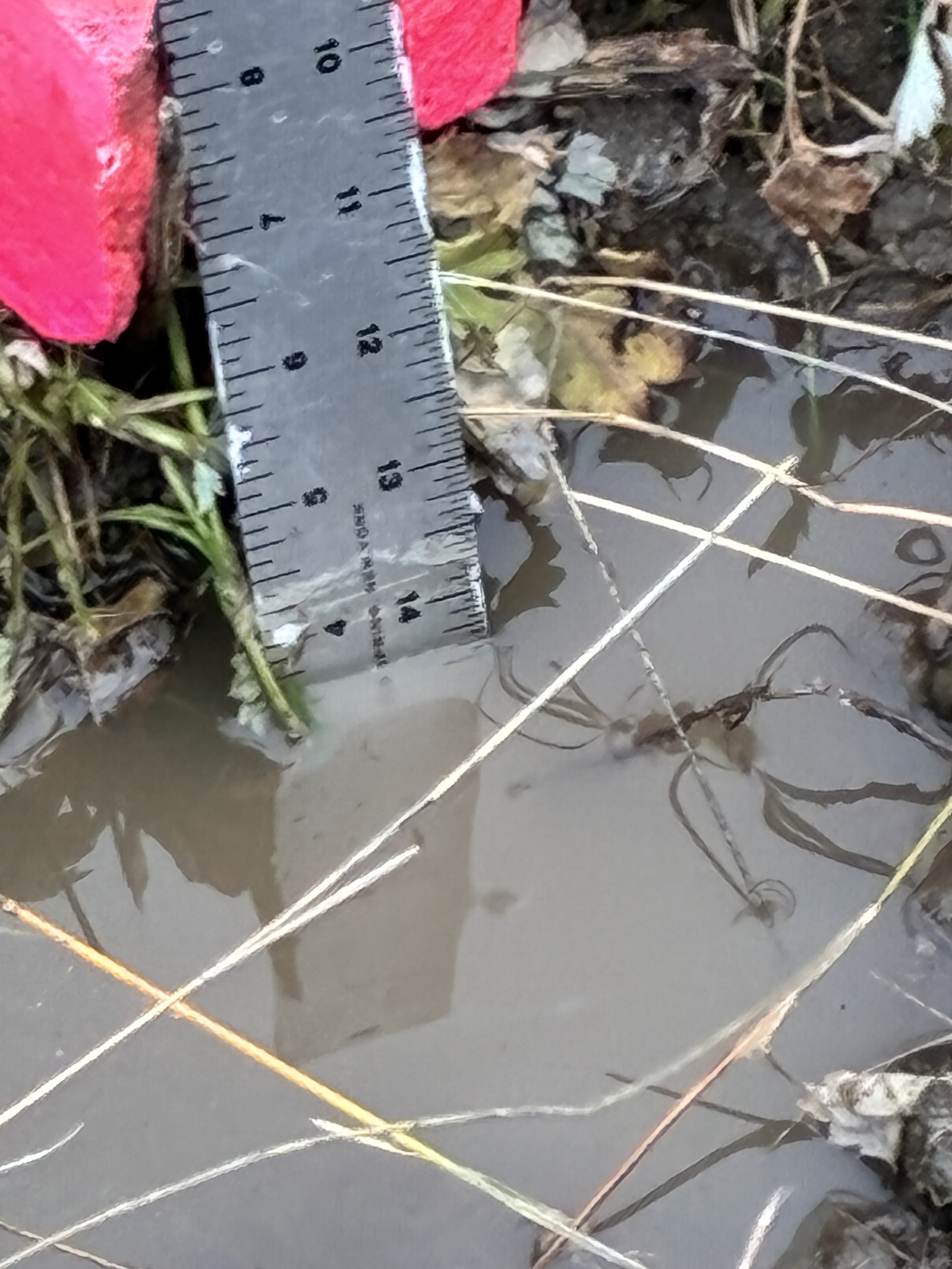
The Mother Tree had him conduct a transect, walking the land and carefully observing the characteristics along the boundaries of each site. At the center of each, he dug a hole and examined the soil. He conducted a percolation test to measure how quickly a volume of water drained through the ground. He also collected soil samples for two jar experiments: one containing 1.5 cups of soil mixed with water and a drop of dish soap, then shaken, and another containing 1 cup of dry soil.
The purpose was to observe, measure, and record the granular details of the living earth.
At Site #1, the water sample eventually settled into layers of sediment, which he labelled as: ¼ inch of silt, no light-colored silt, ⅝ inch of dark-colored silt, ¾ inch of light aggregate, and ¼ inch of heavy aggregate. The water became fully clear after approximately a week and a half. Three weeks later, he recorded simply: “Current state of jar is clear.”
At Site #2, taken more than two weeks later, the sample settled into ⅜ inch of silt, ¼ inch of light-colored silt, ½ inch of dark-colored silt, 1⅛ inches of light aggregate, and 1½ inches of heavy aggregate. The water began clearing after approximately two days, but remained cloudy.
These were not merely two sets of measurements. They were two different places revealing their physical compositions and characteristics.
The Mother Tree pushed beyond a conventional two-dimensional data-driven approach to land. She expanded the study to incorporate the human dimension. The young man was asked to interview several people about each site, opening a path toward deep mapping: an understanding of place that encompasses not only geography and topography, but also history, memory, personal experience, and the stories embedded in the landscape.
The results were extraordinary.
Taking a deep breath, our Vitruvian young man overcame his hesitation and interviewed our neighbor Zaz, an artist, and his mother, the Goddess, about Site #1, the side yard of our old farm.
He began by explaining his project and what he already knew:
Vitruvian Young Man: I am doing a science project and I need to research, like gathering information on the history of our house and our property. I already know some stuff, and I know the entire street was kind of owned by the people who lived in [our] house.
Zaz: When we moved in, it was just a field. Our realtor said, “They are going to build a development in this field,” and so he drove us here. It was a farm, a dirt road and then a field. So the street was like their side yard. All this was field. Pete’s house was a field. That house wasn’t there, but the white house was there. So 2019 we started the process and we moved into an unfinished house because my husband was doing all the finish work. They just framed it and then we moved in. They blasted, I mean, they were, it was the same…the road, they blasted…but we were in.
The conversation turned to the vegetation, particularly the Japanese knotweed that grows so vigorously in our side yard.
Vitruvian Young Man: He liked the knotweed? So he let it grow?
Zaz: Yes. He loved the knotweed. OMG. The barn had 100 feral cats living in it. I refused to let my son enter that barn! (laughs) I am not even kidding. If there was one there was 100. I am not even lying. The cats would just have babies…
Goddess: We found a lot of bones.
Vitruvian Young Man: Well, I know, like the side yard where all the knotweed would grow originally it was where they would dump the coal for the house because I know, I’m pretty sure we found chunks of coal in there, but also when we were clearing it out…or at some point, we had found these really big concrete slabs that were sitting in there. And I’m pretty sure we found coal, so we put those together and then like the backyard was all overgrown and I, I’m pretty sure…I think my dad told me this…but like our backyard, they would, they always just kind of ignored, obviously, because they would tend to the farm and the backyard was just kind of like, they would put all their trash back there because there was no disposal. So a lot of times when it rains we find chunks of glass. And we found like pottery…
Zaz: We did too. Well, when they were blasting and digging here I found tons of little bottles. I had bottles, yeah.
Goddess: That’s what we have…medicine bottles. And like, mugs, we still have one or two, but like mugs, medicine bottles, I think bones…
Vitruvian Young Man: Like when they were fixing our foundation they found a skeleton of some animal.
Goddess: One of the beams we found in the side yard also…no, I think it came from the barn, it got stacked and we never noticed it, but on it, like, all the people that helped build carved their initials and the date was like 1848.
The landscape spoke through its remnants. Coal, concrete, glass, pottery, medicine bottles, bones, a beam bearing the initials of the people who built it in 1848. The side yard was no longer simply a 50-by-22-foot rectangle of land with knotweed and brush. It was an archive.
The soil contained more than minerals and organic matter. It contained evidence of human habitation, labor, domestic life, waste, and change. The physical landscape was also a historical document, one that could be read through observation and conversation.
Research on Site #2 proved equally revealing, although arranging an interview with the Historical Society proved difficult because of its winter hours. In the meantime, the young man explored its website and uncovered an extraordinary history.
He wrote:
From 1940 to 1945, a 26 acre plot of land at Cushing’s Point in South Portland was used as an emergency shipbuilding yard. This yard was one of the first two emergency shipyards built in America during WWII, the first in California, and the second in South Portland. These yards were set up before Pearl Harbor, because in 1940, the British needed a safe place to build their ships away from Europe due to the war; thus they chose the United States. The east side of the South Portland yard was operated by the South Portland Shipbuilding Corporation who were only building Liberty Ships for the U.S. Navy, while the west side of the yard was operated by Todd-Bath Iron Shipbuilding Corporation which was in charge of building only the Ocean-class freighters for the British.
Both shipyards (the one in South Portland and California) were ordered to make 30 Ocean-class freighters for the British. In addition to the 30 ships that were being built for the Brit’s, they were building Liberty Ships for the United States Navy. In 1942, the production of the 30 Ocean-class freighters being built for the British in South Portland had been completed and both companies operating out of this yard turned production to only the Liberty Ships. Both Corporations merged into the New England Shipbuilding Corporation in that same year.
At peak production in 1942, 30,000 people were employed, each making around 66 cents per hour, which came out to around $1,375 a year. This was the average income for shipbuilders in South Portland. In the five years the yard was in operation, 274 total ships were built; the 30 Ocean-class freighters, and 244 Liberty Ships.
The neighborhood that we live in now was developed during the 1940’s as part of a project called “Broadway Park”. These houses were built for the families of the employees that worked at the shipyard. Dyer Elementary School, that both me and my sister went to when we were younger, happened to be the school that was opened up in the middle of the neighborhood for the children of the families that lived in these houses built for the workers neighborhood. The cost of a house was roughly $2,008 at the time.
The layers of history began to converge. Our art farm was owned by a Dyer family in 1850. The local Dyer Elementary School was established to serve the children of families who moved into this neighborhood built for the influx of workers at the New England Shipbuilding Corporation.
A farm, a shipyard, a workers’ neighborhood, an elementary school, and our present-day home: seemingly separate histories, yet connected through the people who lived and worked on this land. The poetry lies in the connections.
Soil is not dirt. Place is not inert.
Soil is a complex living system, rich in biotic matter, minerals, organisms, and relationships. Place is similarly multidimensional: the whole cloth of geography, ecology, human habitation, memory, labor, and layered history.
Vitruvius pondered, long ago, the ideal proportions of the human body and how they relate to the built space. Renaissance thinkers expanded this into the belief that man was the microcosm uniting the spiritual and material realms—a concept Leonardo da Vinci gave iconic visual form. The Mother Tree is now teaching our son to encounter it through the actual world around him.
He began by measuring a patch of land with his own body. He learned to observe its slope, vegetation, soil composition, and drainage. He walked its boundaries and interviewed people who remembered its past. He discovered that an ordinary side yard could contain traces of a nineteenth-century farm, while an industrial yard could open a window into the extraordinary mobilization of an entire community during World War II.
In the process, he also learned something about himself: how to articulate an argument, overcome reluctance, ask questions, listen, and follow a line of inquiry beyond the boundaries of an assignment.
This is science, but a science more expansive than the conventional understanding of science as the collection and analysis of discrete data points.
For nearly four centuries, the dominant intellectual framework of modern Western culture has tended to separate the observer from the observed, the mind from the body, the material from the spiritual, and the measurable from the meaningful. Cartesian coordinates locate a property. Legal instruments establish ownership. Scientific measurements describe its physical characteristics. Each has its place and utility, but none, on its own, tells us what a place actually means.
A place is not merely where something is. It is also what has happened there, what lives there, who has cared for it, who has worked it, who remembers it, and what relationships continue to unfold within it. Place is the continuous process of becoming.
The larger truth is that life is interconnected. Energy moves through living systems, human relationships, ecosystems, and the material world. We have much to learn by expanding our understanding beyond the narrow boundaries of conventional materialism, by exploring the connections that are easily overlooked when we reduce the world to coordinates, measurements, and ownership.
As our culture becomes increasingly sclerotic and combative, perhaps this is precisely the kind of wisdom we need: an education that teaches us to see connections rather than divisions, to listen rather than assume, to include rather than exclude, and to recognize the intrinsic value of life beyond its utility to ourselves.
The Vitruvian Man stands within the circle and the square, between Heaven and Earth. Our Vitruvian young man stands in a patch of grass, measuring the world in steps, working with his hands, stretching out his arms and mind.